
Finding Santa Barbara County Street Residents
A street search starts with a physical address, but the first public result usually describes land rather than a household. The Santa Barbara County Assessor supplies a parcel key. The GIS viewer supplies shape and context. The recorder supplies title documents. Permits show work and named project parties. A historical directory or approved voter-file release can add occupant or registration evidence for a defined period.
Walk the address in a fixed order. Save the exact spelling at every step. That small habit keeps an APN change, unit number, or street suffix from splitting one parcel trail into several false matches.
- Run the house number and base street name through the Assessor lookup, then save the APN, situs, map link, and value-notice link.
- Open the county GIS viewer, select the parcel, and note adjacent APNs, city or county jurisdiction, and useful map layers.
- Use the parcel or current deed clue to search the Clerk-Recorder index by name, document type, or recording date.
- Search county or City of Santa Barbara Accela by site address to see published permits, project names, dates, and status.
- For an older household, compare a reverse directory, census page, newspaper, obituary, or library collection with the address and year.
The sequence gives the address chain a defensible shape without claiming that every person connected to a parcel lives there now.
Santa Barbara County Street Parcel APNs
The Santa Barbara County Assessor parcel lookup is the key starting point for a street directory. It accepts an APN or a house number with a street name. The form recommends omitting Street, Avenue, or Boulevard from the base name and allows a partial street name. A result can expose the normalized situs, APN, value notice, and assessor-map link. The public form does not accept an owner name, so a name-first search must use another custodian.
| Parcel Number | Text search key, with examples using a three-part APN format. |
|---|---|
| House Number | Text field used with the street name. |
| Unit # | Optional unit field for a multi-unit address. |
| Street Name | Base street name; leave off the road suffix. |
| Sort Results By | Parcel number by default, or Street for a street review. |
| Parcel Book/Page | Map-mode field with county book and page formatting. |
| Buttons | Search Parcels, Clear, and View Assessor Map. |
The result is a bridge, not a final answer. A value notice can show assessment data and property characteristics. A mailing address is where a tax notice goes and may be a post office box, manager, trust, business, or another property. It cannot by itself establish residence.
The captured parcel screen shows the address-to-map starting point used in a Santa Barbara County street directory:
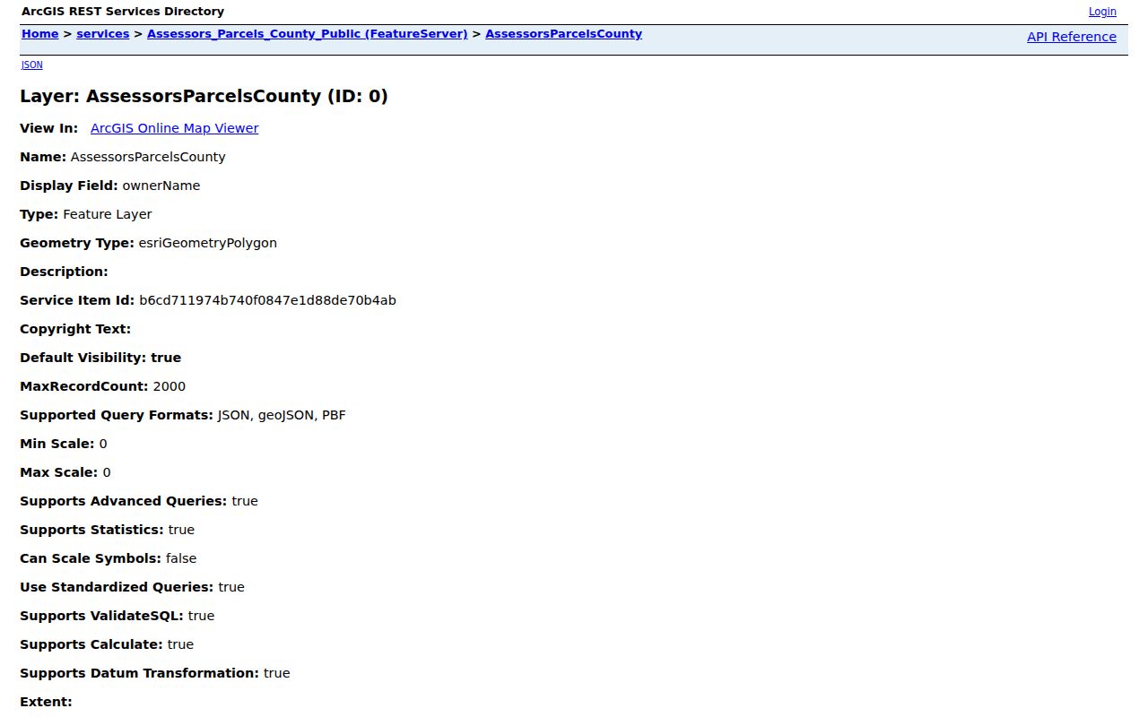
Keep the APN beside the street spelling. It is the stable clue for a deed, parcel map, tax account, or GIS follow-up even when an address is reformatted.
Note: The Assessor search identifies a parcel and map clue, but it does not accept an owner name or certify present occupancy.
Browse Santa Barbara County Street Parcels
The Santa Barbara County ArcGIS portal and SimpleLayers viewer add geography to street-by-street work. Search or zoom to the address or APN, select the parcel polygon, read its popup, and follow the Assessor link. Then click each touching polygon rather than assuming that a search result is arranged in walking order. The service schema documents APN, two-part situs, owner name, and an Assessor web link.
GIS layers can include parcels, jurisdictions, zoning or land use, flood and fire hazards, tax-rate areas, districts, imagery, and recorded-map references. Active layers depend on the viewer. A map can show that an address lies in incorporated or unincorporated territory, which helps identify the right permit or planning custodian.
This parcel-map capture links the visual block view to the county's recorded-map access point:
The public parcel feature service has a 2,000-record maximum and supports pagination, distance queries, order, and statistics. Those technical options do not turn the service into a bulk resident list. A narrow address or block review is easier to audit and less likely to confuse a parcel owner with an occupant.
Note: A parcel service can support a narrow block review, but its record limit does not create a complete resident list.
Santa Barbara County Street Directory Record Sets
The address record chain combines address-keyed records with name-keyed records. The table below keeps their strengths separate. The parcel and GIS rows find land. The deed row finds title parties. The permit row finds project history. Voter information can show a registered address only through an approved access path.
| Record Set | Keeper | What It Shows | Access |
|---|---|---|---|
| Parcel and value record | County Assessor | APN, situs, value notice, and map reference | Free address or APN portal |
| GIS parcel layer | County or city GIS | Adjacent polygons, jurisdictions, and map layers | Free viewer or service |
| Deed and lien index | Clerk-Recorder | Grantor, grantee, instrument, date, and legal description | Free index, paid copies |
| Voter record | County Elections and California SOS | Registered address or precinct within approved release | Self-lookup or restricted file |
| Permit record | City or County Accela | Project parties, site, work dates, and status | Anonymous published search |
| Reverse directory | Library or archive | Historical occupant or phone subscriber by address | Collection access varies |
The parcel number often ties the first five rows together. It does not make them interchangeable. A permit applicant may not have lived at the site, a deed party may be a trust, and a directory entry represents a publication year. Write the source and date next to every name.
Santa Barbara County Street Permit Dates
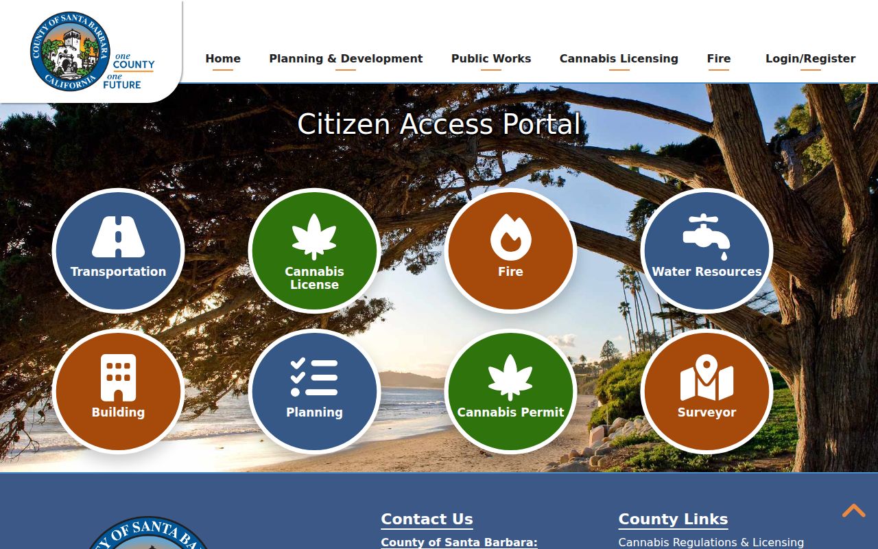
The county Accela permit portal searches Planning and Zoning, Building, Public Works Transportation, Water Resources, Fire, Cannabis, and related records. Its address form includes street number, street name, direction, street type, unit, city, state, ZIP, and parcel number. Search type can be General Search, Site Address, or Permit Information. Project name, permit number, type, and start or end dates can narrow the result.
A permit can identify an owner, applicant, contractor, licensed professional, project, and status. It can place an alteration or approval in time. It does not prove that a named party lived at the address. Older paper files may require the responsible department or a California Public Records Act request, especially when approved plans are access-controlled for copyright, security, or privacy reasons.
The county portal image shows the address-based record route:
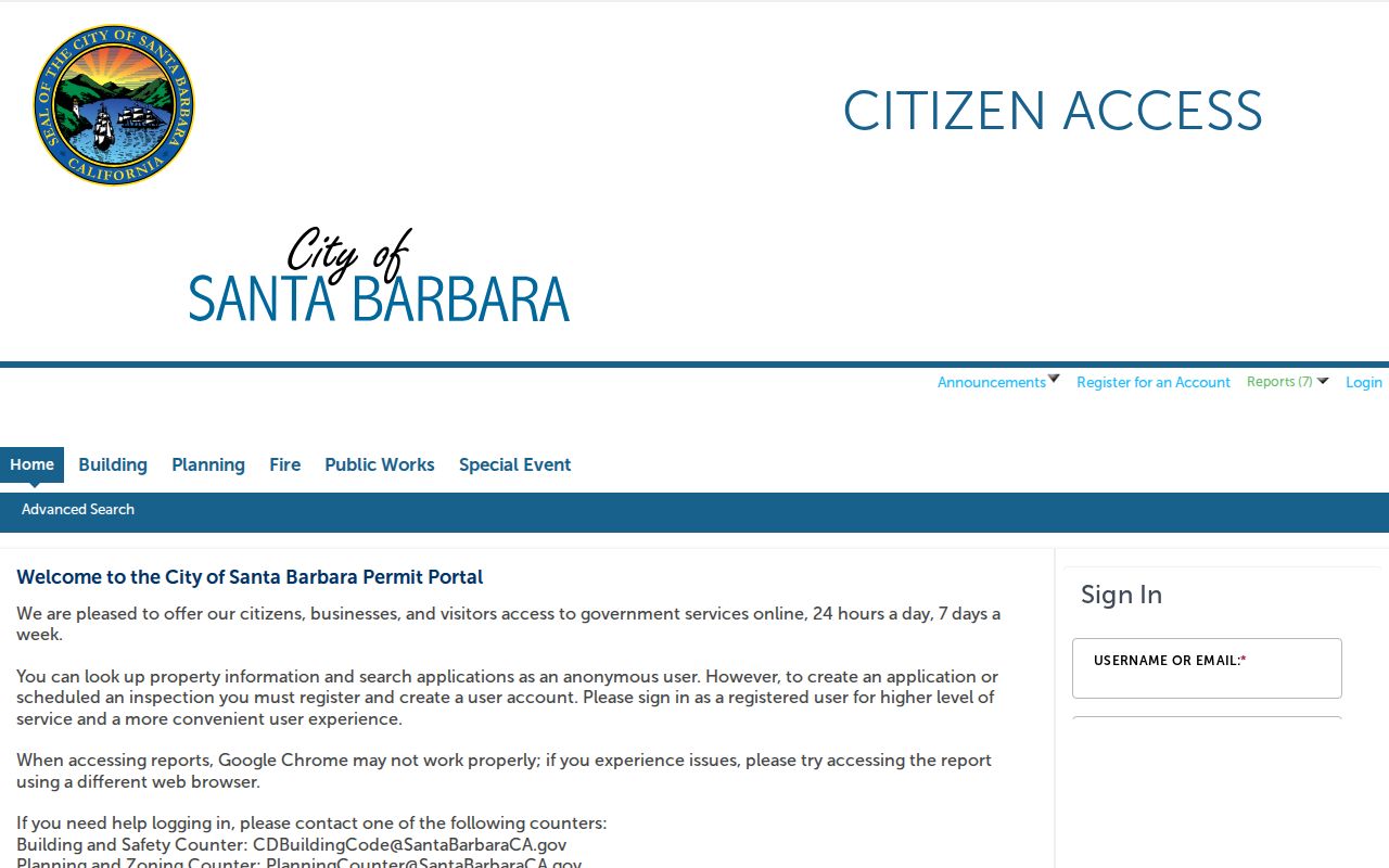
Inside the City of Santa Barbara, the separate City Accela portal covers General Information, Building, Planning, Fire, Public Works, and Special Event searches. Property and application searches are anonymous; an account is needed for filing or secure services. Address work should first decide whether the parcel is in a city or unincorporated territory, then use the matching portal.
Santa Barbara County Street Deed Chain
Deeds are indexed by party name, so an address search reaches them after the Assessor supplies a current owner or document clue. The Clerk-Recorder Official Records name search offers Name Search, Document Type Search, Document Number Search, Map Book/Page Search, and Advanced Search. Name mode uses Last First without punctuation for an individual, with recording-date controls and advanced exact, wildcard, or proximity help.
Search the current grantee, then use the grantor as the next prior party. Verify every hop with APN, legal description, tract, lot, recording date, and instrument type. Copies are purchased through the portal at $10 per document plus $2 certification. Older images may need the counter or the Public Record Copy Order form.
For 1931 through 1975, switch to the Santa Barbara historical grantor-grantee index. Choose Grantor or Grantee, Individual or Corporation, the 1931 to 1958 or 1959 to 1975 period, then Name or OCR Search. Search surname-only when ditto marks or OCR errors could hide a spouse. Note the book and page at the far right before requesting the image.
- Grantor
- The party transferring or conveying an interest in recorded property.
- Grantee
- The party receiving that recorded interest.
- Legal description
- The tract, lot, map, or metes-and-bounds language that controls the land identity.
- Chain of title
- The linked sequence of recorded transfers used to trace an interest backward.
Mailing Address, Situs, and Parcel Meaning
Three address terms can point in different directions. Situs is the physical location of land. A mailing address receives tax or other correspondence. A legal description controls the recorded property. An address chain fails when those terms are treated as synonyms.
Address continuity can break after a street rename, rural-route conversion, city annexation, subdivision renumbering, parcel split, or parcel merger. Santa Barbara County's Surveyor records can help bridge the change. The parcel-validity search asks for an APN and can return historical APNs plus recorded certificate of compliance, lot-line adjustment, merger, parcel-map, and tract-map results.
Use the map book and page, tract and lot, historical APN, and deed legal description together. A street number alone is not enough for a past owner chain. County map records reach 1850, and the finding aid includes city lot splits, land grants, cemetery maps, surveys, and recorded parcel maps.
Working definition: An APN is an Assessor identifier, not a deed. A plat or recorded map shows how lots and boundaries were laid out. A situs is where the parcel sits. A mailing address is where a notice goes. These clues become powerful only when they agree.
Santa Barbara County Street Reverse Search
Modern portals are not the whole Santa Barbara County address record trail. Library and archive collections can invert the usual name-first search and group entries by street and number. The digitized Santa Barbara runs are more exact for 1940 through 1963, while the local shelf may hold additional reverse or criss-cross years that Reference staff must confirm. The library does not publish an exhaustive shelf list, so an absent catalog hit is not a final answer.
The 1943 to 1946 sample shows how a directory entry works: surname, given name or initial, occupation, office or business address, an explicit Residence or “r,” and a street number. Advertisements can add business and residence phones. A cross-reference such as Spaulding to Spalding changes the search spelling. The entry places a person in the publication year; it does not prove the person stayed there.
For a household question, find the alphabetic name entry, copy the street and residence notation, then inspect the reverse section for the same number. Repeat in the nearest available issue and compare a census or newspaper. A missing name may mean a move, an unlisted number, a spelling difference, or an incomplete run.
Note: Reverse-directory coverage varies by issue, so a missing year or name should be checked with the library keeper.
Santa Barbara County Street Voter Data
Voter data can add a dated registration clue, but it cannot supply an anonymous street roll. California My Voter Status is limited to the person who enters identifying data. A full file request must state an approved election, scholarly, journalistic, political, or governmental purpose and identify fields, geography, users, and safeguards. Confidential registrants are omitted from county-prepared lists.
The standard release can include a voter file, history file, and district file. The voter file may contain name, registration date, residence or mailing address, precinct, party preference, and status, subject to approved fields. The history file shows election date, type, and voting method, never the ballot selection. Driver license data, the last four Social Security digits, unique identifiers, and signatures are excluded.
Use the county Elections office for the application and the state self-lookup for a person's own status. Do not assume that an inactive or cancelled entry marks a current household, or that an absent entry means the person left Santa Barbara County.
Santa Barbara County Street Directory Limits
No public record set gives a complete list of everyone who sleeps at an address. A deed records title interests. An Assessor record describes a parcel. A permit names project parties. A directory captures subscribers or occupants for one issue. Utilities and delivery customer lists are not an open street roll. DMV residence addresses are confidential, and protected voter addresses can be withheld.
A household member may not appear in any source. An owner may receive mail elsewhere. A public field in a GIS service can differ from what the public viewer displays. Even a registered address is dated evidence and subject to statutory limits. Use the narrowest record that answers the question and cite its date.
The cleanest address trail is address to APN, APN to map, map to custodian, and record to dated conclusion. When the goal changes from a whole street to one person, use the Santa Barbara County resident lookup route instead.
Note: A narrow address trail is easier to verify than a broad list assembled from mismatched records and dates.