
Santa Barbara County ZIP Coverage
The table lists the 25 physical ZCTAs identified as intersecting Santa Barbara County. A ZCTA is a Census approximation, not a complete USPS inventory. The postal city can differ from the incorporated city, and a single mailing area can span city and unincorporated territory. Use the table to choose a starting area, then verify the individual address.
| ZIP / ZCTA | Practical Areas | Post Office or Mail Identity | Notes |
|---|---|---|---|
| 93013 | Carpinteria | Carpinteria | South County city and surrounding area |
| 93067 | Summerland | Summerland | Unincorporated coastal community |
| 93101 | Downtown and lower Santa Barbara | Santa Barbara | Central urban delivery |
| 93103 | Eastside and Riviera | Santa Barbara | City neighborhoods |
| 93105 | Mission, San Roque, foothills | Santa Barbara | City and foothill geography |
| 93106 | UCSB | Santa Barbara or Goleta campus | Campus-centered area |
| 93108 | Montecito | Santa Barbara or Montecito | Mail identity is not incorporation |
| 93109 | Mesa and harbor | Santa Barbara | Coastal city neighborhoods |
| 93110 | Hope, Modoc, Goleta fringe | Santa Barbara | City and fringe geography |
| 93111 | Eastern Goleta and airport fringe | Santa Barbara or Goleta | Check jurisdiction parcel by parcel |
| 93117 | Goleta, Isla Vista, Gaviota | Goleta | Incorporated and unincorporated areas |
| 93252 | New Cuyama | New Cuyama | Remote Cuyama Valley |
| 93254 | Cuyama | Cuyama | Eastern county |
| 93427 | Buellton | Buellton | Santa Ynez Valley |
| 93429 | Casmalia | Casmalia | Small unincorporated community |
| 93434 | Guadalupe | Guadalupe | City and northwest county |
| 93436 | Lompoc | Lompoc | Lompoc Valley |
| 93437 | Vandenberg SFB | Vandenberg SFB | Base-centered area |
| 93440 | Los Alamos | Los Alamos | Unincorporated community |
| 93441 | Los Olivos | Los Olivos | Unincorporated valley community |
| 93454 | East and central Santa Maria | Santa Maria | City core and east |
| 93455 | Orcutt and south Santa Maria | Santa Maria | Unincorporated Orcutt with Santa Maria mail |
| 93458 | West and north Santa Maria | Santa Maria | North County urban area |
| 93460 | Santa Ynez | Santa Ynez | Valley and rural area |
| 93463 | Solvang | Solvang | Incorporated valley city |
A ZIP code directory should label this list physical ZCTAs and practical areas. It should not claim an official bulk USPS county list, a postal-only code inventory, or a complete list of households.
Note: A postal code follows delivery routes, while a ZCTA approximates geography and does not create a resident list.
Santa Barbara County South Coast ZIP Geography
South Coast postal codes begin in the 930xx and 931xx groups. Carpinteria and Summerland sit apart from the Santa Barbara urban codes, while Montecito, Goleta, Isla Vista, and the airport fringe show how a mailing identity can cross a local boundary. A postal area may be a useful first filter, but a city or county record must decide which agency has jurisdiction.
For a person or address clue, verify the street with USPS city and state ZIP lookup or the by-address form. Then use the county Assessor for APN and situs. The USPS result validates delivery geography; the parcel result validates land geography.
The USPS city and state screen demonstrates why a postal search should be treated as a routing step:
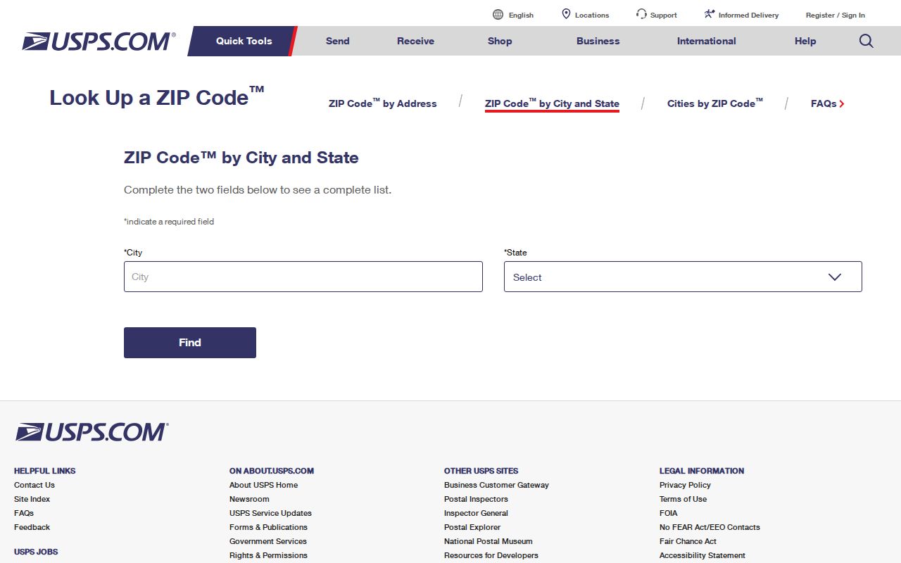
The image is not a resident directory. It simply helps confirm the postal label attached to a mailing area or community.
Note: Rural communities and post-office names can cross municipal boundaries, so verify the physical address before assigning a city.
Santa Barbara County Cuyama ZIP Geography
Santa Barbara County's 932xx geography reaches across the mountains into the Cuyama Valley. ZIP 93252 is associated with New Cuyama and ZIP 93254 with Cuyama. Their physical setting differs from the South Coast and North County urban areas, so a postal clue should be paired with the county map, Assessor address, and the responsible local department.
The 932 prefix is a reminder that Santa Barbara County is not one continuous coastal records market. A permit, parcel, or map question can depend on whether an address lies in a city, an unincorporated community, or a rural service area. The mail label is a useful clue, not a legal description.
For older family history, directories and newspapers may use the community name instead of a mailing code. Search both the modern label and the historical place name when crossing from a current clue to an older record.
Note: A postal filter narrows records only when the underlying portal captures that field and makes the result public.
Santa Barbara County Mid-County ZIP Areas
The 934xx group covers Buellton, Guadalupe, Lompoc, Vandenberg, Los Alamos, Los Olivos, Santa Maria, Santa Ynez, Solvang, and nearby communities. Santa Maria alone uses 93454, 93455, and 93458 for different parts of the area. A postal directory that starts with the number must still check the street and parcel before naming a city.
The county's record geography follows valleys and service boundaries. Lompoc Valley, Santa Ynez Valley, Santa Maria and Orcutt can have different city or county custodians for permits, planning, or community records. Countywide offices such as Clerk-Recorder, Assessor, Elections, and Superior Court remain the core record keepers for their own series.
Use the number to narrow the search. Use the address, APN, case number, or legal description to prove which record belongs to the place.
Santa Barbara County ZIP 93117 Geography
ZIP 93117 is a strong example of postal geography exceeding a single municipal boundary. It covers Goleta, Isla Vista, and Gaviota, with incorporated and unincorporated territory in the same broad mailing area. A result filtered by 93117 therefore describes a category of addresses, not one city resident roll.
For an address in 93117, verify the jurisdiction through county or city GIS, then choose County Accela or City Accela for permit work. The Assessor accepts an address but not ZIP alone. The parcel polygon, situs, and APN provide a more precise route than the ZIP label.
The same principle applies to a community directory, voter file, or association contact. A postal area can help find the correct office. It cannot turn a mailing area into a list of every household.
Santa Barbara County ZIP 93455 Mail Area
ZIP 93455 combines Orcutt and south Santa Maria in the practical coverage table. Orcutt is unincorporated, while Santa Maria is an incorporated city, yet both can share the Santa Maria mail identity. That is why “city” in an address field does not by itself settle planning, permit, or local records jurisdiction.
Search a ZIP-capable portal only after recording the full street, city, state, and ZIP. Then compare the result with the county map and Assessor situs. When a permit question reaches an older paper file, name the address, parcel, record type, and approximate date in the request.
A postal directory can expose this boundary quickly. The next step is always parcel-level verification.
Santa Barbara County USPS and Census ZCTAs
USPS postal codes are delivery constructs. Census ZCTAs are statistical approximations of physical postal areas. Neither establishes incorporation, ownership, or who lives at an address. A PO-box-only or unique code may not fit a physical ZCTA, and no verified bulk USPS county list or official ZIP realignment history was located for Santa Barbara County.
- ZIP code
- A postal delivery label used by USPS routing and address validation.
- ZIP+4
- An extended delivery code that adds detail beyond the five-digit area.
- Physical ZCTA
- A Census approximation used for mapping and statistics, not a legal boundary.
- PO-box ZIP
- A postal code that may serve boxes rather than a continuous physical area.
- Unique ZIP
- A code assigned to a narrow institutional or special delivery use.
The county GIS access point is the map-side check for a postal directory:
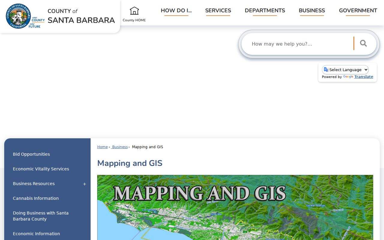
The map cannot identify every person in a mailing area. It helps choose the right local custodian for the full address.
Use USPS for the delivery address, Census geography for a broad map, and county GIS or Assessor records for the parcel. Those three roles should not be merged.
Santa Barbara County ZIP Permit Filters
The county Accela permit portal accepts ZIP as one part of a full site-address search. It also accepts street number, street name, direction, street type, unit, city, state, parcel number, permit type, project name, permit number, and date range. ZIP is a useful narrowing field, but the record still belongs to a particular address or parcel.
| Search type | General Search, Site Address, or Permit Information. |
|---|---|
| Street and ZIP | Street number, base name, direction, suffix, unit, city, state, and ZIP. |
| Permit identity | Permit type, exact permit number, or project name. |
| Date pair | Start Date and End Date in MM/DD/YYYY format. |
| Parcel number | APN or parcel identifier for a more exact address link. |
| Buttons | Search and Clear. |
ABC reports can also export licensed premises by ZIP, but a licensed physical premises is not necessarily a person's residence. A ZIP result should be read as a set of locations, then narrowed with the record's own name, address, and status fields.
Note: USPS verification confirms mailing geography, not ownership, occupancy, voter status, or the boundaries of a city.
Find Santa Barbara County ZIP Residents
A ZIP code directory search can narrow a broad family, community, or records question. It cannot produce a complete resident list. Start with a ZIP and community, then work down to a full address, parcel, name, or record type.
- Confirm the postal ZIP with the USPS by-address lookup using street, city, state, or ZIP.
- Check the county or city GIS map to see whether the address is incorporated, unincorporated, or on a boundary.
- Use the Assessor address lookup to capture the APN and normalized situs.
- Select the matching source: deed, permit, court, library, business, license, or restricted voter process.
- Save the date and source scope, then verify a person or parcel with a second record.
The by-address USPS screen is the correct first check when a mailing code came from an old note, a directory, or a partial address:
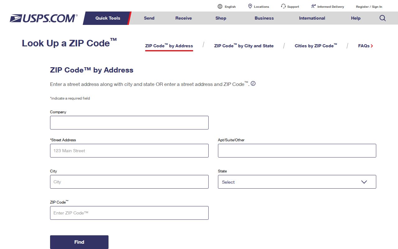
Once the ZIP narrows the area, the Santa Barbara County street directory handles the address-level chain. A postal search should hand off there rather than repeat a parcel workflow.
Santa Barbara County ZIP and City Limits
Mailing city and municipal jurisdiction can diverge. ZIP 93117 spans Goleta, Isla Vista, and Gaviota. ZIP 93455 combines Orcutt and south Santa Maria. ZIP 93108 uses a Santa Barbara or Montecito mail identity without making the mailing label a statement of incorporation. The parcel and city or county GIS layer decide the local boundary.
Santa Barbara County's three ZIP prefixes also show its physical range: 930xx and 931xx on the South Coast, 932xx across the trans-mountain Cuyama Valley, and 934xx in the middle and north county. That geography explains why one generic postal directory cannot replace address normalization.
Use the postal code as a first filter, not a conclusion about a resident, parcel, or city. The result becomes useful when USPS, GIS, Assessor, and the selected custodian agree.