
Looking Up Your Santa Barbara County Neighbors
A block-level Santa Barbara County neighbor lookup combines sources with different strengths. GIS shows geometry and touching polygons. The Assessor shows parcel and value clues. Deeds show title parties. Permits show project parties and dates. Voter information may show a registered address only through an approved release. A neighborhood resource can show public contacts or activities without disclosing a member list.
| Source | What It Shows About a Block | Access |
|---|---|---|
| County or city parcel GIS | Adjacent polygons, APNs, situs, jurisdictions, and map layers | Interactive map or public service |
| Assessor parcel lookup | Address, APN, value notice, parcel map, and assessment clues | Free address or APN search |
| Recorded deeds | Titled parties and transfer dates for nearby parcels | Free index; paid or counter images |
| Permit portals | Project names, applicants, work, dates, and status at nearby sites | Anonymous published search |
| Approved voter file | Registered voters, precinct, or approved address fields | Purpose-based application |
| Neighborhood resource | Public officers, contacts, meetings, or activities | Published material only |
The block table identifies what the source can show, not what every neighbor is doing. It is a map of evidence, not a household roster.
Note: Touching polygons show a spatial relationship, not a shared household, common ownership, or current personal connection.
Map Santa Barbara County Neighbor Parcels
The county Mapping and GIS resources and SimpleLayers viewer support a narrow parcel-by-parcel neighbor search. Search or zoom to the subject address or APN. Select its polygon, read the popup, and follow the Assessor link. Then click each touching parcel and record its APN and situs. Pan along the street segment rather than downloading a broad area.
The public parcel feature service documents polygon geometry, APN, two-part situs, an owner-name field, and an Assessor web link. It has a 2,000-record maximum and supports distance queries, pagination, order, and statistics. Those features describe a map service, not an open resident list. The public interface should be used narrowly so each result can be checked.
The process is simple: subject address, selected polygon, touching APN, Assessor result, deed or permit, dated conclusion. A parcel touching the subject may be a road edge, common area, vacant lot, or separate jurisdiction. Let the map and source record define the relationship.
California's judicial public-record explanation is another reminder that an online index and a complete file are different things:
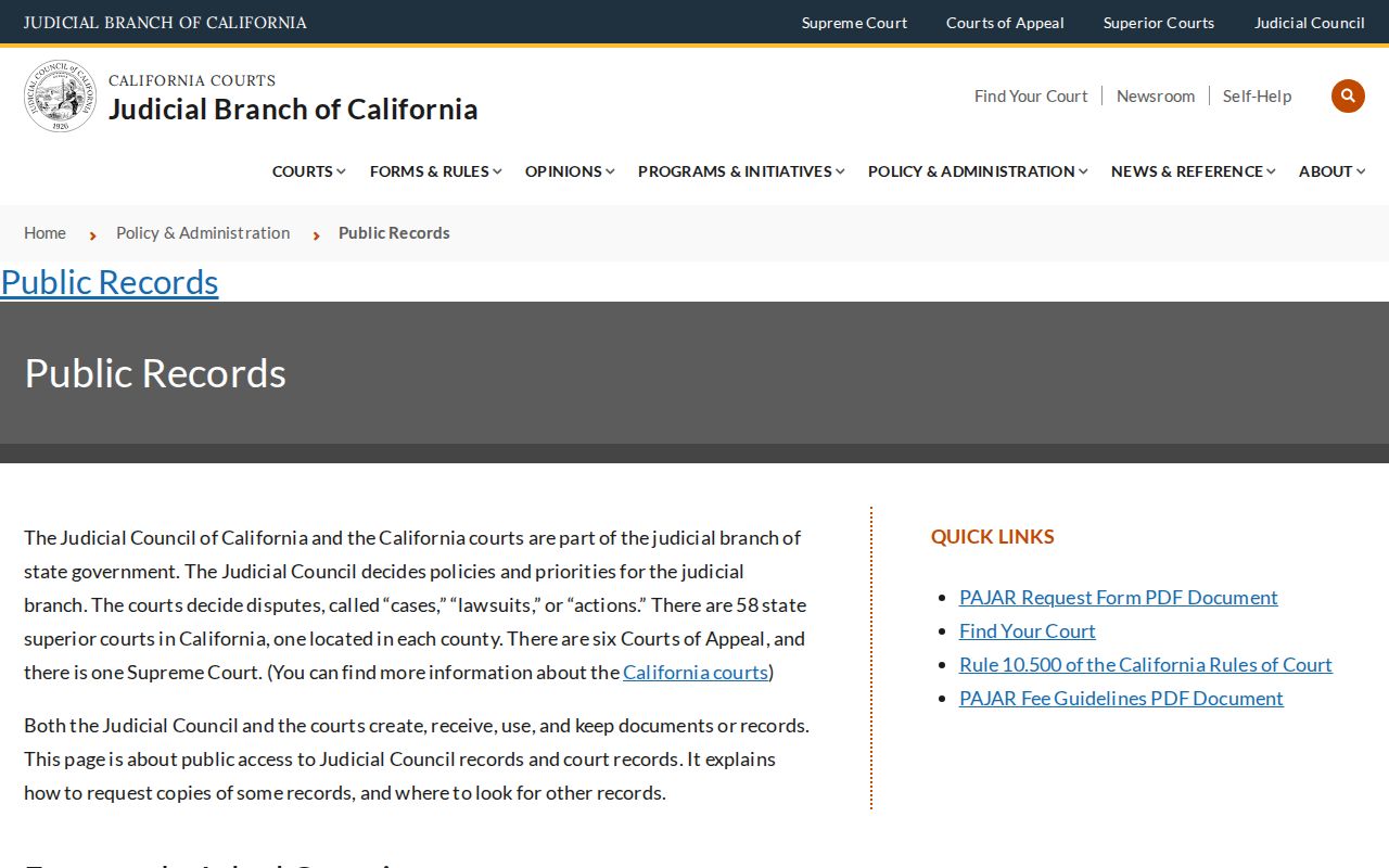
Use the court source only for the case or record question it covers, not as a substitute for parcel geography.
Map Santa Barbara County Neighbor Block
Adjacent parcels are not adjacent households. A parcel can have a trust, business, institution, common area, or mailing address that differs from the situs. A GIS owner field can also differ from the public viewer's current display. The safest block map labels each polygon by APN and address before adding a record source.
Use parcel layers, jurisdictions, zoning or land use, flood and fire hazards, tax-rate areas, service districts, imagery, and recorded-map references only for the question they answer. A layer can explain a boundary or land use without identifying a person. Map context is valuable because Santa Barbara County includes city, unincorporated, coastal, valley, and remote mountain geography.
Do not use a map search to infer that a household member lives at every nearby address. The result should say “adjacent parcel” unless a separate record supplies a dated person or title connection.
Santa Barbara County Neighbor APNs
After selecting a touching polygon, carry its APN into the Santa Barbara County Assessor lookup. The public form accepts APN or house number plus street name, with optional unit, street sorting, parcel book and page, and map controls. It does not accept an owner name. The result can show normalized situs, value notice, and map links.
The Assessor is a parcel source. It does not establish who occupies the parcel. A mailing address may be a manager, trust, business, or another property. Ownership or exemption information must be read only from the particular lawful result and verified with the recorder or custodian when needed.
For several nearby parcels, save one record per APN. That preserves the block's shape without flattening separate parcels into one name list.
- APN
- The Assessor's parcel number, a stable land-record identifier for a mapped property.
- Situs
- The physical location of the parcel, which can differ from its mailing address.
- Parcel polygon
- The mapped boundary used to identify a parcel's position and nearby edges.
Compare Santa Barbara County Neighbor Permits
Permits can add a time layer to a block. County Accela covers Planning and Zoning, Building, Public Works Transportation, Water Resources, Fire, Cannabis, and related modules. City Accela covers the City of Santa Barbara's General Information, Building, Planning, Fire, Public Works, and Special Event searches. Both accept address components, but the custodians are different.
Search the address, parcel, project name, permit number, type, or date range. A result may name an applicant, owner, contractor, or licensed professional and show status or issued documents. That is project evidence. It does not prove that any named person lived at the site.
Older paper permits can be requested from the responsible city or county department. Describe the address, APN, record type, and approximate dates in a California Public Records Act request when appropriate.
Permit history can explain a new unit number, a remodel, a lot split, or a change in the block's built form. It should be paired with GIS and a deed or directory source.
Note: Permit parties and project dates add context to nearby parcels, but they do not identify every household on a block.
Santa Barbara County Neighbor Voter Data
California My Voter Status is a self-lookup. It can return the requesting person's status, party, districts, and election information, but it cannot produce a public Santa Barbara County neighbor list. A voter-file application must state an approved election, scholarly, journalistic, political, or governmental use, identify fields and geography, and describe safeguards.
The standard delivery can contain a voter file, history file, and district file. Approved fields may include name, registration date, residence or mailing address, precinct, party preference, status, and district. The history file shows election date, type, and voting method, never ballot choices. Confidential voters are omitted from county-prepared lists, rosters, and indexes.
The state self-lookup screen is the right source for a person's own status:
The county Elections page is the separate access route for a permitted file request:
A voter record is dated evidence of registration, not conclusive current occupancy. Active, inactive, cancelled, and confidential statuses all need their own interpretation.
Note: Approved voter data is purpose-limited, and a self-lookup confirms only the person who supplies the identifying information.
Santa Barbara County Neighborhood Resources
Community organizations can add local context without exposing a member directory. The City of Santa Barbara neighborhood resource is a current public starting point for participation and neighborhood information. Unincorporated communities use county planning, community-plan, and service-district contacts. Public officers or meeting contacts may be listed, while household or membership rosters generally remain private unless voluntarily published.
| City neighborhood resource | Public participation information and current city contact route. |
|---|---|
| Unincorporated community | County planning, community-plan, or service-district contact rather than a city roster. |
| Neighborhood association | Public officers or contact points when the group chooses to publish them. |
| Block watch or club | Public activity or contact information, not a guaranteed membership list. |
| Congregation or HOA | Voluntary public history or officer information; member records are not assumed open. |
No authoritative countywide public HOA, alumni, association, or member-directory inventory was located. That absence is a privacy feature, not a missing resident database. Use the public contact route for civic questions rather than trying to infer membership from a parcel map.
Historic Santa Barbara County Neighbors
For older blocks, the Santa Barbara County city directory collections can show names and residences between census years. The 1943 to 1946 sample uses a surname, given name or initial, occupation, office or business address, explicit Residence or “r,” and street number. A criss-cross or reverse section can invert the search by grouping entries around an address.
Spelling cross-references matter. The sample directs Spaulding readers to Spalding. Search both forms, inspect adjacent lines, and compare the issue date. A historical directory entry can place a former neighbor in a publication year. It cannot prove a current address or complete block membership.
Pair a directory clue with a deed, census, newspaper, obituary, or map. The Santa Barbara County directory book page carries the collection years and reading method; a block lookup should use it only for the historical neighbor layer.
Santa Barbara County Neighbor Lookup Limits
California protects DMV residence addresses under Vehicle Code section 1808.21. Voter identifiers and confidential addresses are restricted. Safe at Home can supply a substitute address and mail-forwarding service for qualifying victims and certain threatened public-service groups. Courts can withhold sealed, confidential, or protected material. A neighbor may therefore be absent from a public address trail by design.
Official rolls and commercial directory tools are not interchangeable.
California consumer-privacy information describes deletion and opt-out rights for covered data, while public record custodians control their own records:
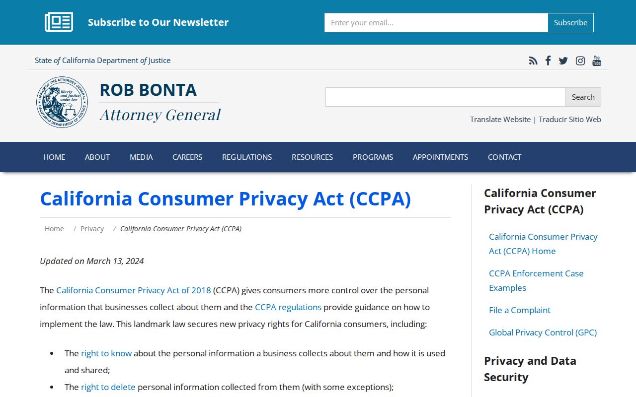
A request to a commercial service does not automatically change a county, court, voter, or assessor record.
| Source Type | Strength | Limit |
|---|---|---|
| Official parcel or deed | Custodian, APN, title party, date, legal description | Does not list every occupant |
| Official voter data | Dated registration fields within approved release | Purpose, confidentiality, and security limits |
| Official permit | Project party, address, work, and status | Does not establish residence |
| Commercial directory tool | May combine public or licensed feeds | May lag corrections, conflate names, charge, or lack source detail |
The block method ends at the evidence boundary: adjacent parcel, dated record, public contact, or no public result. When the goal becomes a full named-street chain, use the Santa Barbara County street directory workflow.
Note: Privacy rules can make a neighbor absent from public records even when the person remains in the community.