
Santa Barbara County Previous Residents Sources
Past households at a Santa Barbara County address appear in different record families. Deeds follow title transfers. Maps explain lot and street continuity. Directories and census pages place occupants in a year. Permits date changes to the structure. Obituaries and probate can close a family trail. The era table keeps those roles distinct.
| Source | Years It Covers | Where Held | What It Shows |
|---|---|---|---|
| Modern recorder index | January 1, 1900 to present in live notice | Clerk-Recorder web search | Names, document types, dates, numbers, and map references |
| Historical grantor-grantee index | 1931 to 1958; 1959 to 1975 | County historical index | Scanned book pages, grantor and grantee entries, OCR clues |
| Recorder and map archives | Holdings reach 1850; State Archives deed microfilm from 1844 | County counters, copy order, State Archives | Older deeds, legal descriptions, maps, and land history |
| City and reverse directories | 1875 regional handbook; exact local runs from 1940s onward | LOC, SBPL, archives | Names, residences, occupations, phone and street clues |
| Federal census | 1850 to 1950 released; 1960 scheduled for 2032 | NARA and library databases | Household, relationship, age, birthplace, and occupation |
| Sanborn maps | 1886 to 1930 sheets by community | Library of Congress and local archives | Building footprint, use, material, and street context |
| Permits and probate | Current digital records; older files vary | City, county, or Superior Court | Alterations, project parties, heirs, and filing dates |
A gap in one row is normal. The goal is to bridge it with the next source and preserve the uncertainty.
Note: The modern recorder index, historical books, and archive holdings are different finding paths through overlapping years.
Santa Barbara County Past Residents House History
The present address is a locator, not the first historical fact. Run it through the Santa Barbara County Assessor parcel lookup and save the APN, normalized situs, map link, and legal-description clues. The public form accepts an address or APN, not an owner name. The result can connect the parcel to the County GIS viewer and the Clerk-Recorder chain.
Compare the present parcel with the county map and any recorded map reference. APNs can change after a split or merger. A tract, lot, book and page, historical APN, or legal description may be the bridge that keeps a nineteenth-century parcel connected to a modern street.
Do not treat the value notice or tax mailing address as a complete resident record. A mailing address can be a post office box, trust, manager, business, or another property. It is a clue to the account, not proof of who lives at the situs.
Trace Santa Barbara County Past Residents
The deed chain is the core backward trail for previous residents and owners. A grantor is the party conveying an interest. A grantee receives it. The chain follows the current grantee to the deed that made the transfer, then searches that deed's grantor as an earlier grantee. Every step must be checked against the parcel or legal description because a name can connect to more than one property.
- Normalize the address in the Assessor lookup and record APN, situs, map, and legal-description clues.
- Search the current acquisition in Official Records by current name, deed type, document number, or date range.
- Copy document number, recording date, grantor, grantee, APN, legal description, tract, lot, and book or page.
- Search the grantor as an earlier grantee, narrowing the dates and verifying the same land description.
- For 1931 to 1975, use both grantor and grantee books, surname-only OCR, adjacent lines, and the book/page citation.
- Before the web index, use the copy-order, counter, archive, map, and State Archives channels.
- Grantor
- The party transferring an interest in a recorded instrument.
- Grantee
- The party receiving that interest.
- Chain of title
- The linked sequence of transfers used to trace an interest backward.
- Legal description
- Tract, lot, map, or metes-and-bounds language that identifies the land.
The County Recorder's real-estate portal gives the current route. Older images can require a lobby visit or a mailed order, so the index result should be saved before leaving the search.
The historical book controls are visible in the county's scanned index:
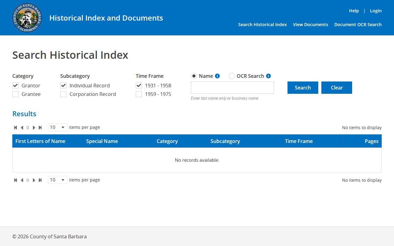
The historical index uses separate individual, corporation, and Special Names books. High-volume names such as Smith, Jones, and City of Santa Barbara may require the special section and nearby lines.
Note: Grantor means the transferring party, while grantee means the party receiving the recorded property interest.
Santa Barbara 1931 to 1975 Index
The modern official-record index and the historical grantor-grantee index are two workflow doors into the same county record history. The live notice reports web indexing from January 1, 1900, while county navigation uses “after 1975” for the modern route and sends 1931 to 1975 researchers to the scanned historical system. Those labels are not a destruction boundary.
In the historical system choose Grantor or Grantee, Individual or Corporation Record, the time frame, and Name or OCR Search. Corporations include churches, school districts, and government bodies. OCR is raw assistance. It can miss a spouse entered with ditto marks or misread a surname, so the scanned page remains the authority for the index entry.
Search surname-only first. Inspect the lines around a likely match, note the far-right book and page, and request the image through the documented county channel. That small change solves the common problem where an exact first-name search misses a second person on the next ditto line.
Santa Barbara County Past Residents Before 1850
State Archives county and city microfilm lists Santa Barbara deeds from 1844, while local Clerk-Recorder holdings and maps reach 1850. The pre-1850 date is a useful history point because it reflects predecessor land and record systems before Santa Barbara County's organization as one of California's original counties in 1850.
The older path can include a counter, the Public Record Copy Order form, archive descriptions, recorded maps, State Archives microfilm, and selected FamilySearch catalog material. A researcher should provide a name, document title, book and page, APN, or legal description. A modern name search alone cannot be expected to expose every older image. For a general request, use the county public-records request channel and describe an existing record rather than asking staff to create a list.
The California State Archives list includes probate from 1862, wills from 1852 through 1936, naturalization from 1856 through 1939, deeds from 1844 through 1922, and declarations of intention from 1850 through 1906. Those series can connect an owner trail to a family or migration clue, but each citation should be checked against the archive image.
The archive research image points to the deeper historical layer:
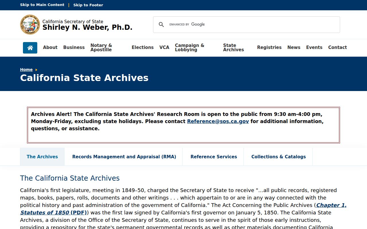
There is no verified courthouse-loss story or final imaging cutover to explain an absent online item. Ask the keeper about the series instead of inventing a gap.
Santa Barbara County Past Residents and Census
Past occupants can be owners, household members, or other people connected to a parcel, and the deed chain alone does not separate those roles. The city directory collection supplies a publication-year residence clue. Federal census pages supply household relationships and ages for public years. Together they can show whether the person connected to a parcel also appeared in the household at the same time.
- Find a directory entry with the full name, residence, occupation, and issue date.
- Check the nearest released census for household relationship, age, birthplace, and address clues.
- Repeat the directory search in adjacent issues, including reverse or criss-cross pages.
- Compare the address with the deed and map trail, while keeping owner and occupant evidence separate.
- Use an obituary, probate file, newspaper, or vital record to test a move, death, or family connection.
The federal 72-year rule means census years arrive later than many directory issues. A missing directory entry may reflect a skipped issue, alternate spelling, or unlisted number. It is not proof that someone left the parcel.
Santa Barbara County Past Residents Sanborn Maps
Library of Congress Sanborn maps show building footprint, construction material, use, and street context. They do not show occupants. Santa Barbara sheets include 1886, 1888, 1892, and 1907. Santa Maria has sheets from 1886 through 1920, Lompoc from 1886 through 1921, Montecito from 1918, Carpinteria from 1916, Solvang from 1921, Goleta from 1930, Summerland from 1930, and other county communities in the documented run.
Use a Sanborn sheet to understand whether a structure, alley, storefront, or street edge changed before a directory or deed entry. Match the map's block and street label to the legal description, then return to a directory or deed for names.
Map limit: A Sanborn map can date a building context. It cannot identify past occupants by itself.
Santa Barbara County Past Residents Permits
County and City of Santa Barbara Accela portals can place building, planning, fire, public-works, special-event, water, or transportation work at an address. The county form accepts site-address pieces, ZIP, parcel number, permit type, project name, permit number, and date range. The city portal separates General Information, Building, Planning, Fire, Public Works, and Special Event searches.
Permit names can include an applicant, owner, contractor, or licensed professional. That is evidence of a project relationship and date, not proof that the named person lived at the site. Approved plans may have access limits. Older paper records may need the department that created them or a California Public Records Act request.
Use a permit to date an alteration, compare a building with a Sanborn footprint, or explain why an address appears differently in a later directory. Keep the parcel and legal description beside it.
The county real-estate resource image shows the local property-record starting point:
For a city parcel, use the city portal. For unincorporated territory, use County Accela. If jurisdiction is unclear, GIS and the Assessor can settle the address before a request is sent.
Note: A street number can change after a split, merger, annexation, or renumbering, so keep the APN and map reference.
Santa Barbara County Past Residents Address History
A street number can change after a rename, rural-route conversion, annexation, subdivision, split, or merger. The APN can change too. A previous residents search that uses only today's number may therefore miss a correct older record.
Bridge the continuity with the recorded map, tract and lot, legal description, historical APN, assessor map edition, deed book and page, or the County Surveyor parcel-validity search. The validity form can return historical APNs and recorded certificate of compliance, lot-line adjustment, merger, parcel-map, and tract-map results.
Compare map layers and directory years. A 1930 address may use a different street label than a 1960 issue. Write the old and new forms together, then repeat the recorder and directory search with both.
Santa Barbara County Past Residents Households
Previous residents often emerge from the overlap of a deed chain and a household source. The city directory can place a name at a street in a specific issue. The census can show relationship and age. A newspaper or obituary can connect a death, family, or move. Probate can identify an heir or petitioner. None should be stretched beyond the fact it records.
For a missing person in an old directory, search the Santa Barbara Public Library local-history service, the California Digital Newspaper Collection, Gledhill Library, UCSB collections, and the Mission Archive-Library. The library documents obituary searches at $25 for a ten-day window and local-history searches at $50 per 30 minutes, with two to four weeks quoted for remote work. Fees apply even without a result.
The Mission Archive-Library research collection is especially valuable for mission, Franciscan, Native California, and early California history through about 1850. It is a different source from a twentieth-century city directory, so its evidence should be cited on its own.
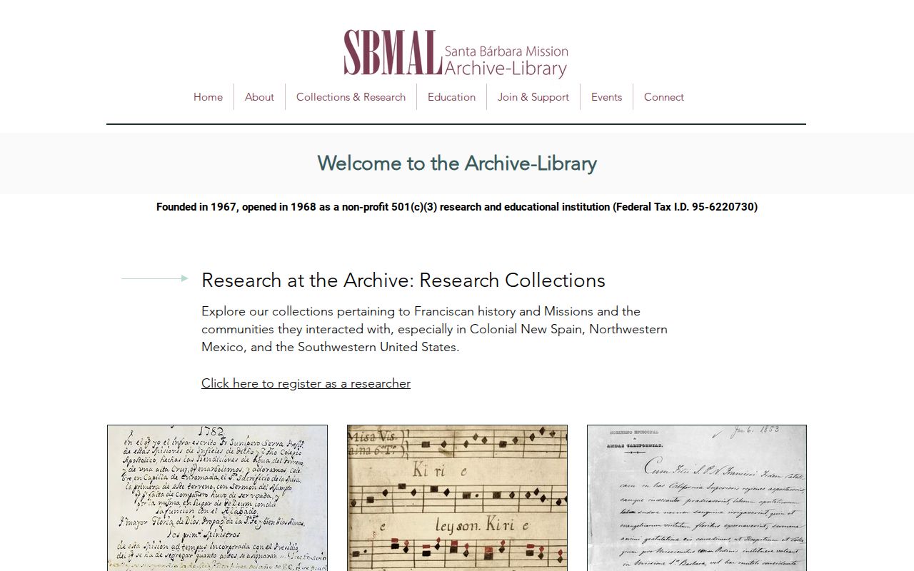
The best conclusion names the source, year, address form, and uncertainty. “Listed in the 1943 directory” is precise. “Lived there for all of that period” is usually more than the record can prove.
Note: A directory or obituary can suggest a household, but a dated clue should be paired with another record before publication.